Costa Rica destinations
Aserrí
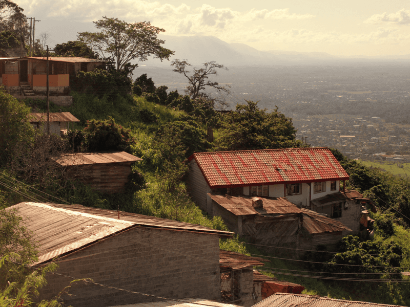
Mountain town on the edge of San José, known for its chorreadas and valley views from the hilltop.
1 day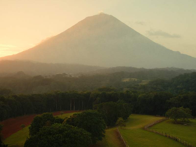
La Fortuna
The town at the foot of Arenal volcano, with the cone in view from almost any corner when the sky clears. Around it are hot springs, a waterfall, hanging bridges and Lake Arenal. It's one of the most tourism-ready places in the country, and you can tell.
3 days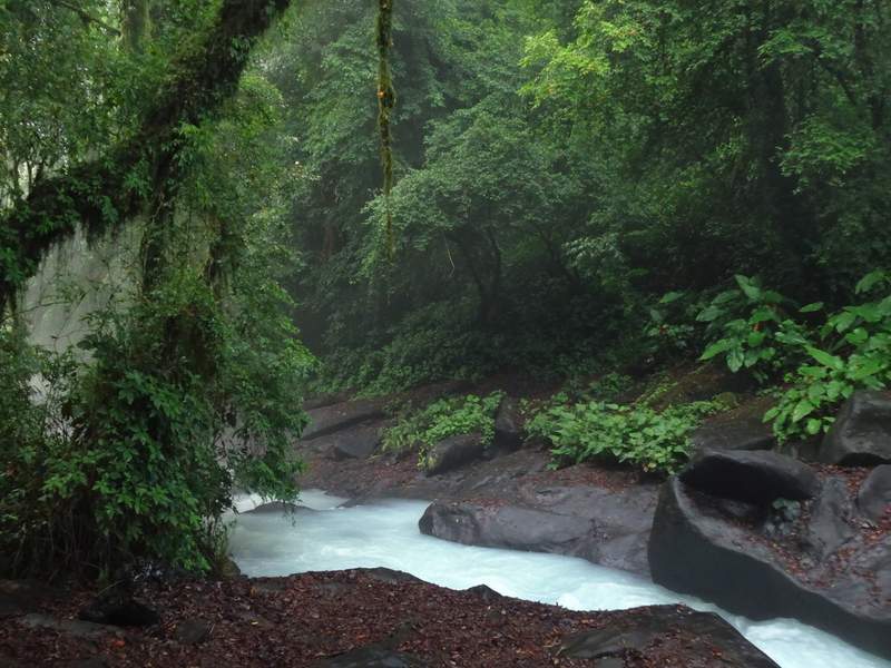
Río Celeste
The sky-blue river inside Tenorio Volcano National Park: the colour comes from suspended mineral particles that scatter the light, right where two streams meet. You reach it through Bijagua, a dairy-and-mountain town in northern Alajuela. The trail is muddy and climbs — not a flip-flops walk.
1 day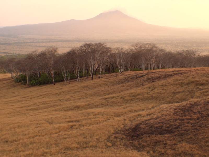
Bagaces
Guanacaste's middle town: it sits on the Interamericana between Cañas and Liberia, and most people drive straight past without knowing the county holds three big things. To the north, the Llanos de Cortés waterfall and its turquoise pools. Higher up, Miravalles volcano and the geothermal field that heats its waters. And to the south, dropping toward the Tempisque river, Palo Verde National Park: the wetlands where thousands of water birds gather in the dry season. Bagaces is dry heat, flatland and cattle country.
2 days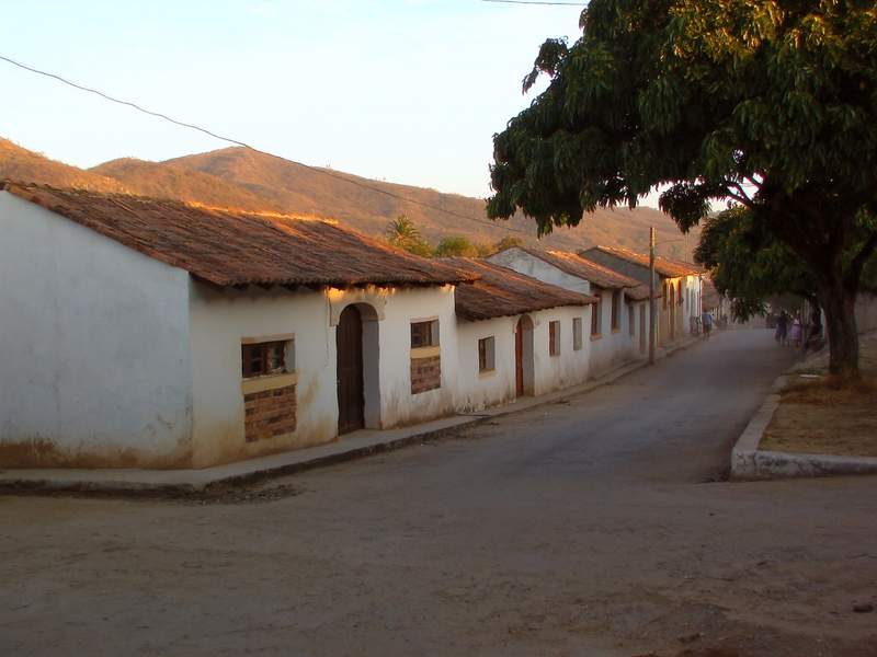
Liberia
Guanacaste's provincial capital and the air gateway to the northern Pacific: Daniel Oduber international airport sits minutes from downtown. Nearly everyone passes through on the way to the beaches or to Rincón de la Vieja volcano, but the old quarter still keeps its white adobe houses and the dry heat of the province.
1 day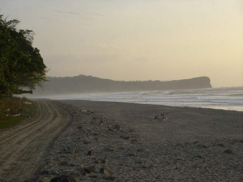
Nosara
A stretch of the Nicoya Peninsula where surfing and yoga overlap. Playa Guiones is long and has waves nearly every day; the town is spread out along dirt roads and trees, and getting there overland in the rainy season takes a while. North of it lies the Ostional refuge, where olive ridley turtles nest.
3 days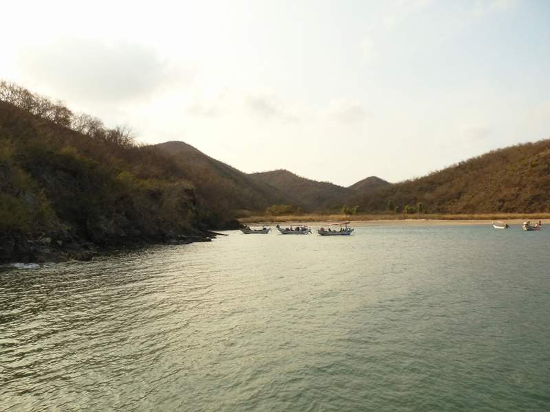
Playas del Coco
One of the oldest beach towns in Guanacaste: a grey-sand bay and a main street that runs straight down to the water. It's a base for diving and fishing trips, and it works year-round because it doesn't live off tourism alone — people actually live here.
2 days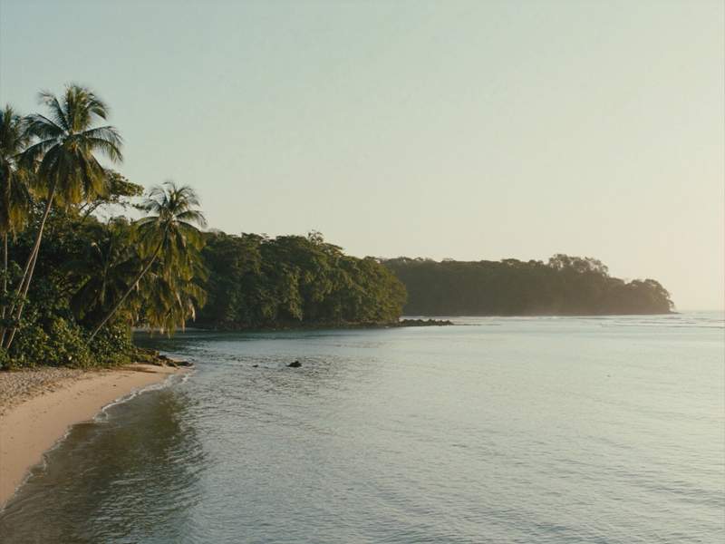
Sámara
A bay on the Nicoya Peninsula sheltered by a reef that breaks the swell before it reaches shore — one of the few Pacific beaches where the water usually stays calm. The town is small and flat, and you can walk all of it in twenty minutes.
3 days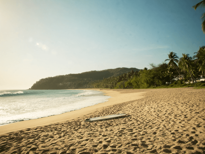
Tamarindo
Surf town with the liveliest nightlife in Guanacaste.
3 days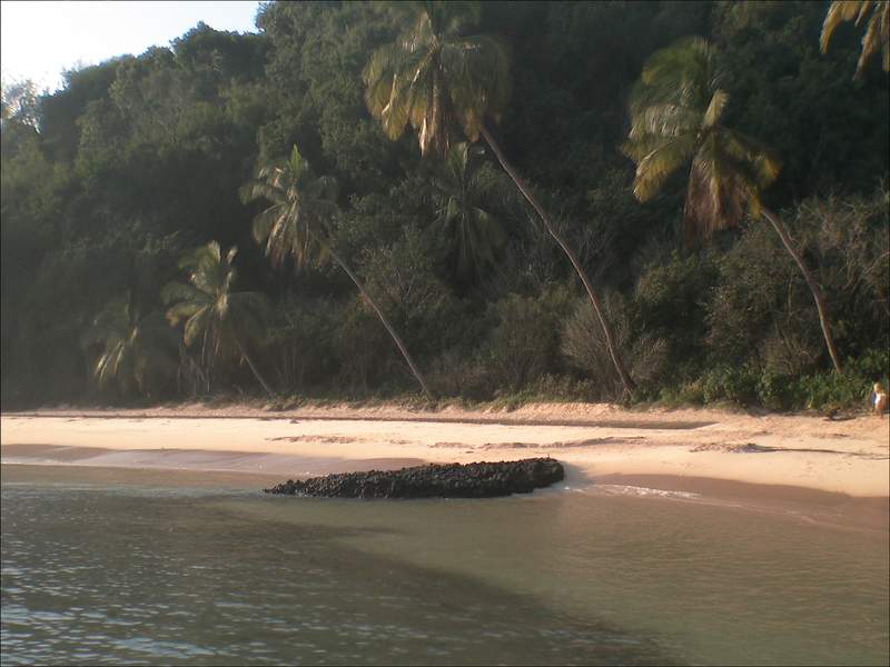
Cahuita
A small, slow Caribbean town right beside Cahuita National Park. The park trail follows the coast between forest and beach, and off the point there's a coral reef you can snorkel. It's the quiet neighbour to Puerto Viejo, half an hour north.
2 days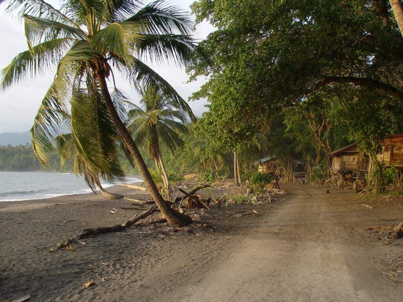
Puerto Viejo de Talamanca
The busiest town on the southern Caribbean: music, Caribbean food, and beaches of pale and dark sand within a few kilometres of each other. The rhythm is different from the Pacific, and so is the language — you'll hear Creole English here. Watch the dates: the Caribbean dry season doesn't line up with the rest of the country.
3 days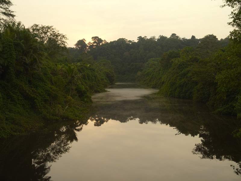
Tortuguero
A village with no road, wedged between the canals and the Caribbean sea: you arrive by boat or small plane. It's one of the main green turtle nesting sites in the Caribbean, and nesting is watched at night with a guide, roughly July to October. The rest of the year the canals are explored by boat or kayak.
2 days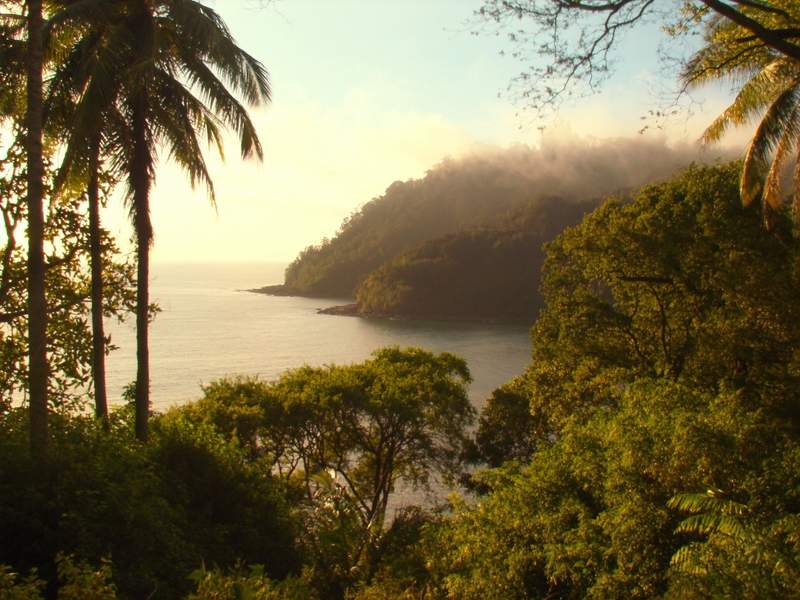
Bahía Drake
A hamlet on the northern coast of the Osa Peninsula, reached by boat up the Sierpe river or by small plane. It's one of the entrances to Corcovado National Park, and outside the village there's no paved road and not much phone signal. You come for the forest and the sea, not for comfort.
3 days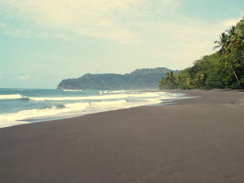
Jacó
The big beach closest to San José — a little over an hour down the coastal highway. It's long and dark-sanded, with steady waves for learning to surf and nightlife that doesn't stop. It isn't a hidden village and doesn't pretend to be one.
2 days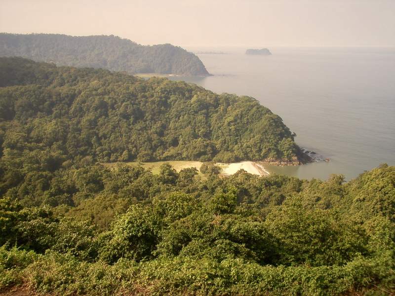
Manuel Antonio
The country's most visited national park, on a headland where the rainforest runs down to the beach. Monkeys, sloths and raccoons cross the trails, and the road up from Quepos opens onto viewpoints over the Pacific. The park is small — a morning is enough.
2 days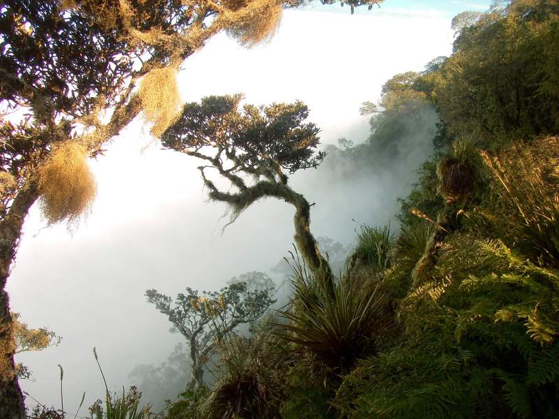
Monteverde
Cloud forest at around 1,400 metres above sea level, where mist drifts through the trees for much of the day. You walk it on trails and hanging bridges, and it's one of the places people come looking for the quetzal. It really is cool up there — bring a jacket.
2 days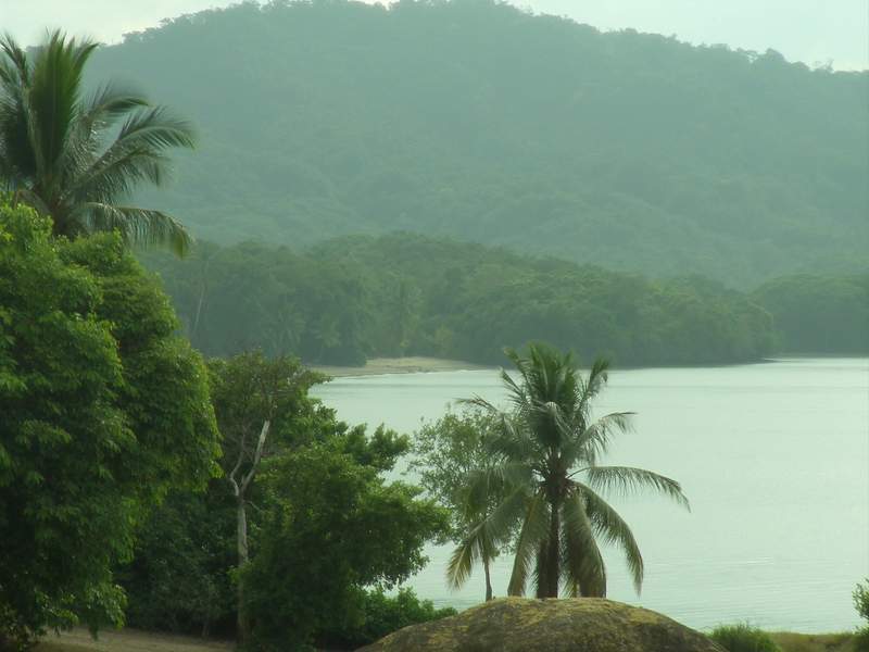
Puerto Jiménez
The largest town on the Osa Peninsula and the overland base for entering Corcovado National Park. It sits on the Golfo Dulce, calm water on one side and rainforest on the other, and scarlet macaws fly over the main street.
3 days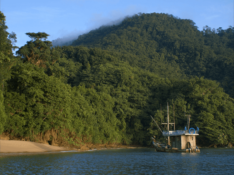
Quepos
Fishing port that serves as the gateway to Manuel Antonio National Park.
3 days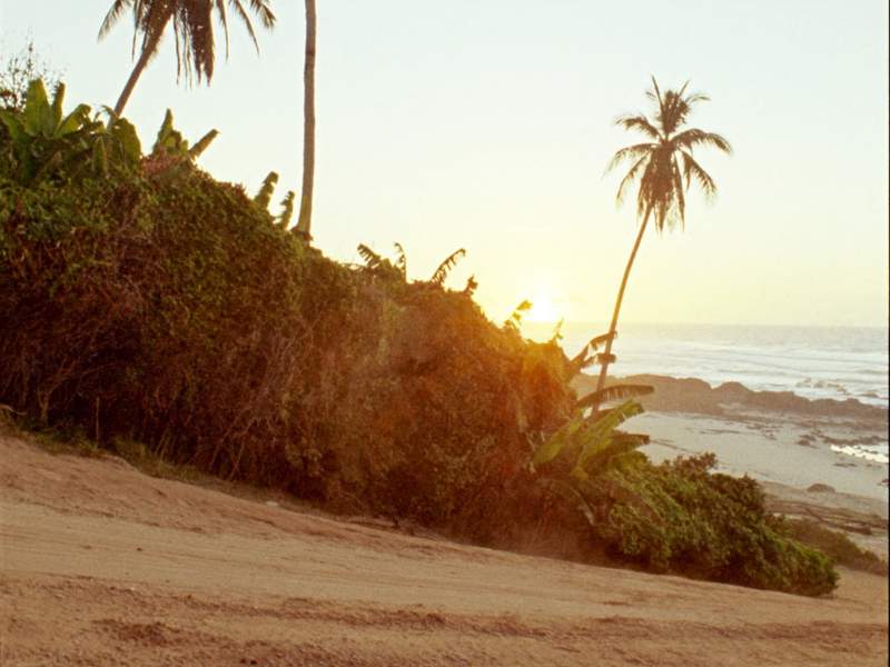
Santa Teresa
The southern tip of the Nicoya Peninsula: a single dirt road running parallel to the sea, miles of surf beach and the sunset straight ahead. Getting there takes effort — the ferry from Puntarenas and then a rough road — and that difficulty is part of why the place is what it is.
4 days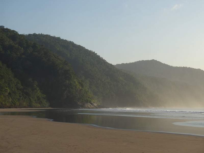
Uvita
The gateway to Marino Ballena National Park, where a sandbar traces a whale's tail you can see whole at low tide. Humpback whales pass offshore — the southern ones roughly July to October, the northern ones in the dry months. The town sits on the coastal highway, between the mountains and the sea.
3 days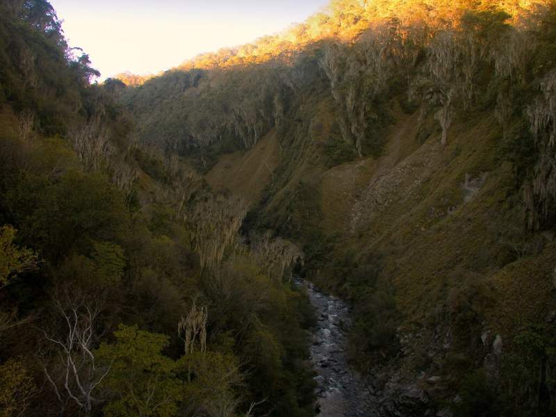
San Gerardo de Dota
A narrow valley on the Savegre river, above 2,000 metres, reached by a steep descent off the Interamerican highway. It's one of the places people come to see the quetzal, mostly between February and May. At night it gets genuinely cold — jacket cold.
2 days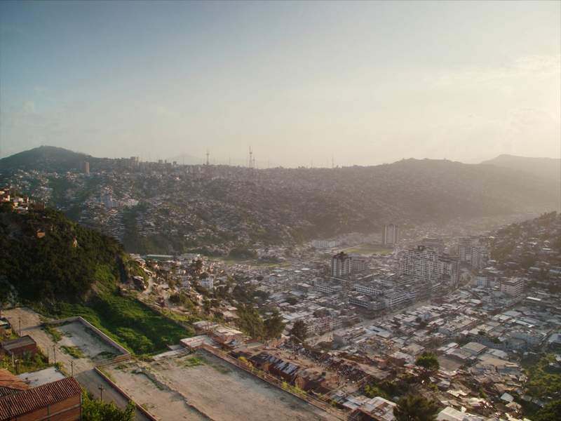
San José
The capital: where nearly everyone lands and where nearly everyone leaves the same day. It has the National Theatre, the Gold and Jade museums, the Mercado Central, and neighbourhoods like Amón and Escalante that are worth walking. It's not a postcard city, but it's where you see how the country actually lives.
2 days